
Welcome to the Lower Colorado River Watershed Restoration & Access Plan (WRAP) website!
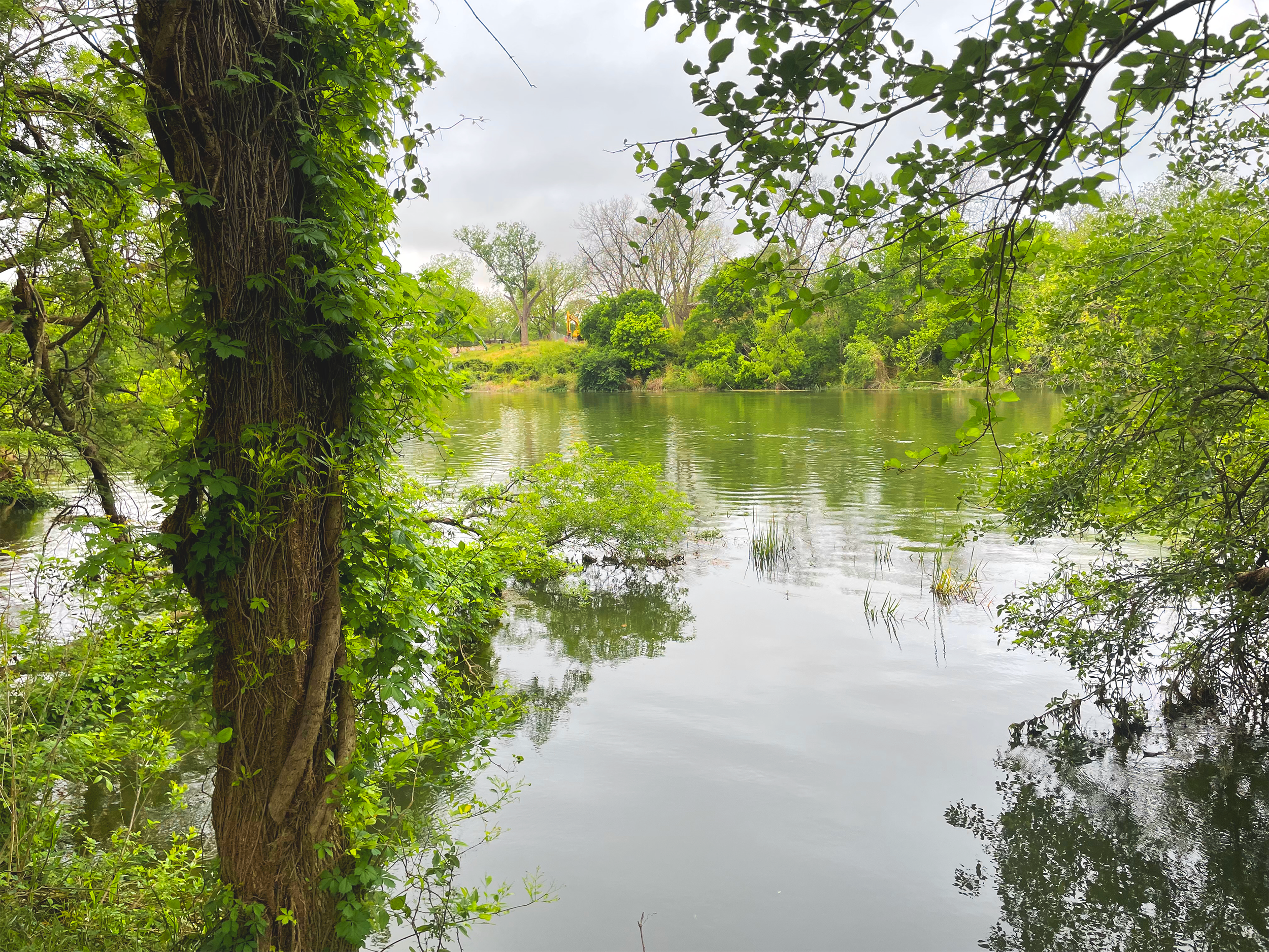
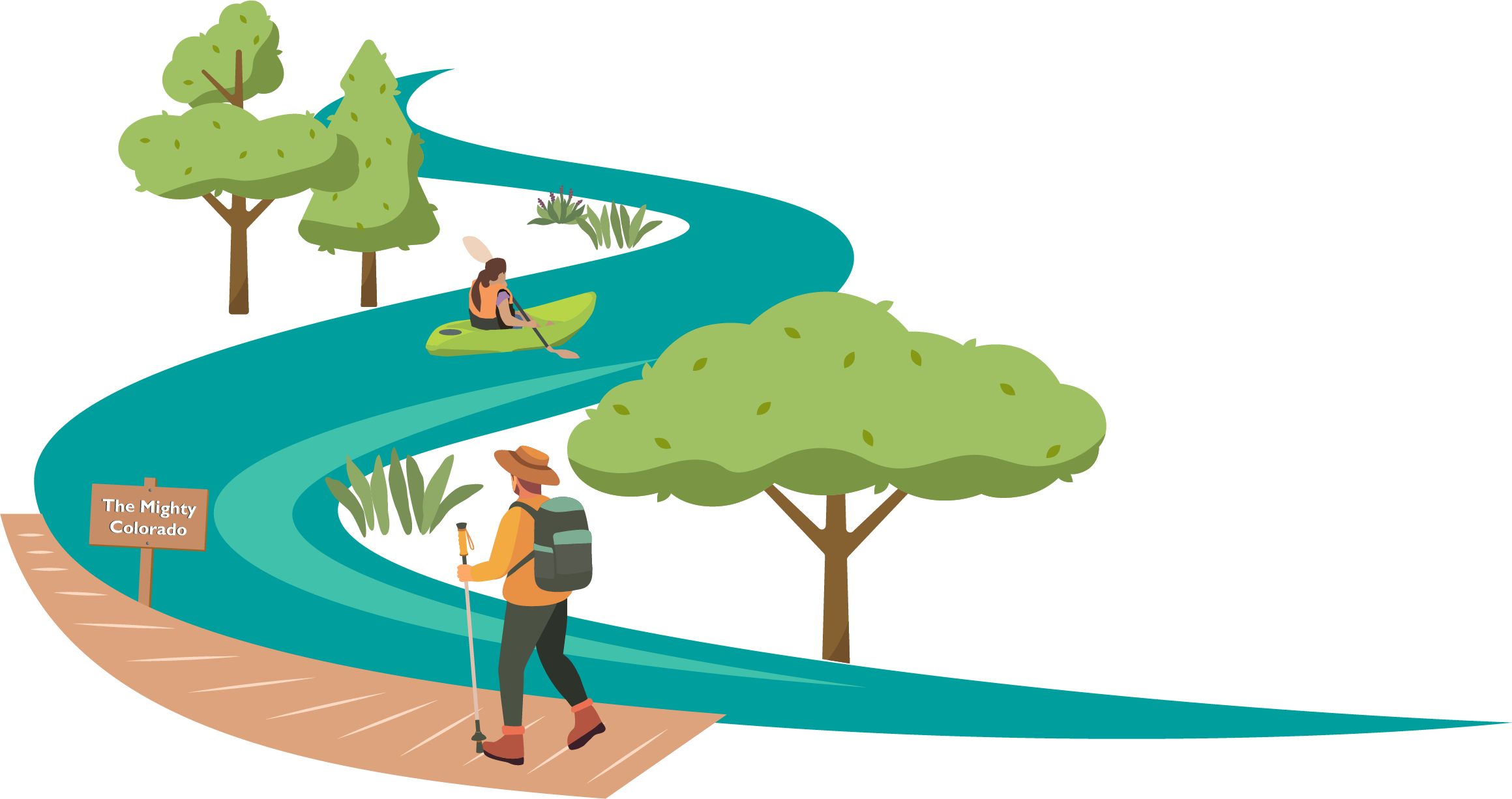
The Lower Colorado River Watershed Restoration and Access Plan (WRAP) will help guide the future of 27 miles of the Colorado River from the Longhorn Dam in Austin to Webberville Park in eastern Travis County. With extensive input from organizations and community members throughout the city and county, the WRAP will identify strategies, including specific projects, and programs, for enhancing regional connectivity, ecological health, and community vitality in the river corridor.
El Plan de Restauración y Acceso al Bajo Río Colorado (WRAP) es un plan que ayudará a dar forma al futuro de 27 millas del Río Colorado, desde la presa Longhorn en Austin hasta el parque Webberville, en el este del condado de Travis. Con la participación de la comunidad, este plan identificará proyectos y acciones para mejorar el acceso al río, proteger la naturaleza y crear espacios más accesibles y saludables para todos. Tu voz es clave para lograrlo.
Thank you for your feedback - see below for takeaways from the community survey!
Check back soon for more information and upcoming events!
¡Pronto habrá más información y eventos!
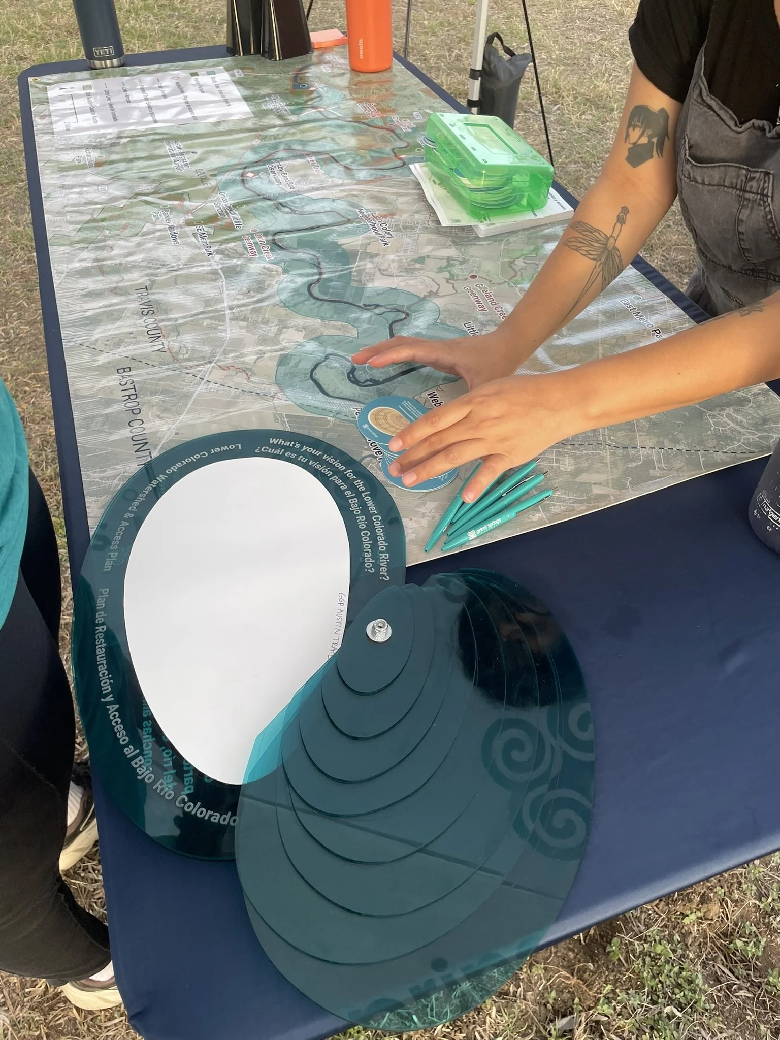
Survey Stats
146
online survey responses

run, bike, and walk
74%
COMMUNITY INPUT
37
zip codes
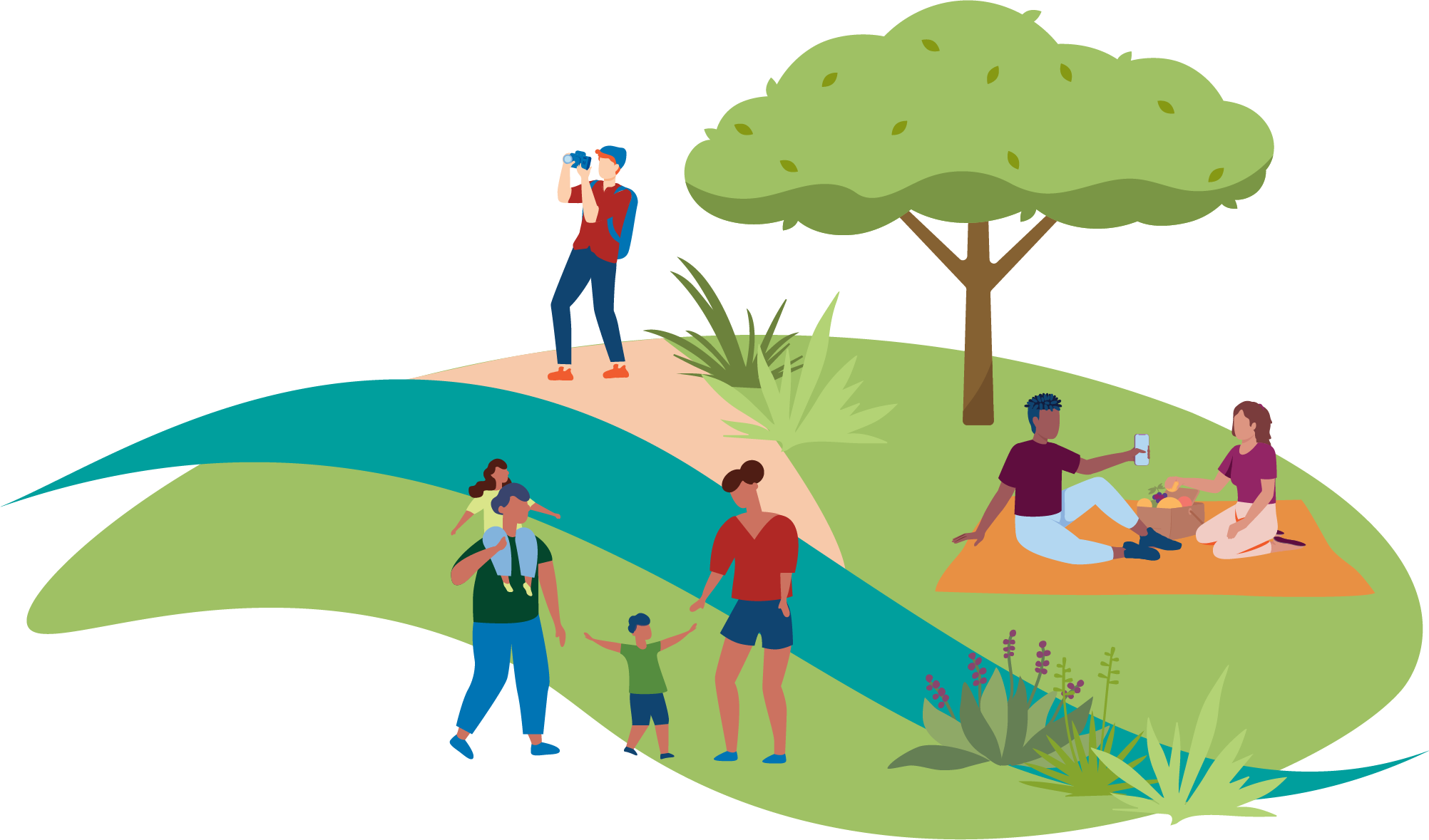
People love to spend time on the water!
Most respondents primarily access the river by car or bicycle!
Local neighborhood access is key!

The river is a beloved destination for outdoor recreation!
55%
kayak, canoe, or SUP
birdwatch
45%

42%
gather with family or friends
fish or hunt
19%

“I would love to see a balance between ecological preservation and thoughtful public amenities”
“Additional parks could help children access nature”
“It feels like one of the last opportunities Austin has for a truly legacy-scale river and trail system”
“I have concerns about erosion and pollution affecting the plants and animals of the LCR”
“I would especially love to see more places where local businesses can interface with the trail in a low-impact way”
“I would go further down the river if there was more connectivity!”

“Better boat ramps would be nice as it can be quite difficult to access the river by watercraft. If there were more public land along the river it could better support exploration of the river, both from shore and from the river itself.”

The Lower Colorado River Watershed Restoration and Access Plan (WRAP) will help guide the future of 27 miles of the Colorado River from the Longhorn Dam in Austin to Webberville Park in eastern Travis County. With extensive input from organizations and community members throughout the city and county, the WRAP will identify strategies, including specific projects, and programs, for enhancing regional connectivity, ecological health, and community vitality in the river corridor.
El Plan de Restauración y Acceso al Bajo Río Colorado (WRAP) es un plan que ayudará a dar forma al futuro de 27 millas del Río Colorado, desde la presa Longhorn en Austin hasta el parque Webberville, en el este del condado de Travis. Con la participación de la comunidad, este plan identificará proyectos y acciones para mejorar el acceso al río, proteger la naturaleza y crear espacios más accesibles y saludables para todos. Tu voz es clave para lograrlo.